After discussing the different raster formats, you may wonder if configuring them is as easy as with vector data. In fact, it is a really simple operation. In the following steps, we will guide you through obtaining a raster file and adding it to the GeoServer configuration:
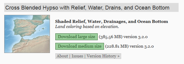
- First of all, we need a raster dataset. As with vector data an excellent source is the Natural Earth data web site. Open your browser and point it to http://www.naturalearthdata.com/downloads/10m-raster-data/10m-cross-blend-hypso. Here you can find a few raster dataset, scroll down the page until you locate the datasets; as in the following screenshot:

- Download the medium size dataset by clicking on the corresponding link.
- Extract the zip archive using the command line tool, as in this example, or the zip GUI:
$ unzip HYP_LR_SR_OB_DR.zip
- From the GeoServer administration interface...


