Setting up our rail alignments, assemblies, and corridor models
In our previous book, Autodesk Civil 3D 2024 from Start to Finish, we covered many foundational tools to create surfaces, alignments, profiles, profile views, assemblies, and corridor models. Using similar workflows that we deployed to develop our roadway models throughout our previously designed subdivision, we can morph these, or make slight adjustments along the way, to generate a rail design that contains both a main track and an auxiliary track.
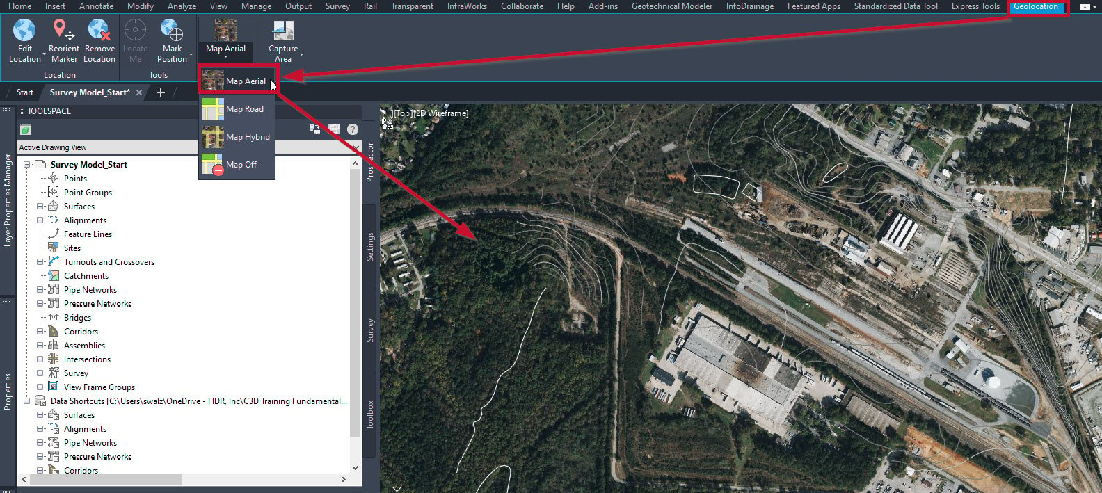
Since all we are starting with is a surface model, we’ll want to start adding in our rail alignments manually as they are not typically recognized as corridor models in InfraWorks. That said, first, we’ll want to turn on our aerial map by going to the Geolocation ribbon, then to the Online Map panel, and selecting the Map Aerial option as shown in Figure 4.2.

Figure 4.2 – Geolocation | Map Aerial
With the aerial imagery...


