You may recall that in the Chapter 6, Spatial Processing we ran several tools to utilize the zonal histogram answer to the distribution of terrains (Landcover) in a buffered pipeline corridor. Open a new QGIS project and load in the Pipeline layer and the Landcover.
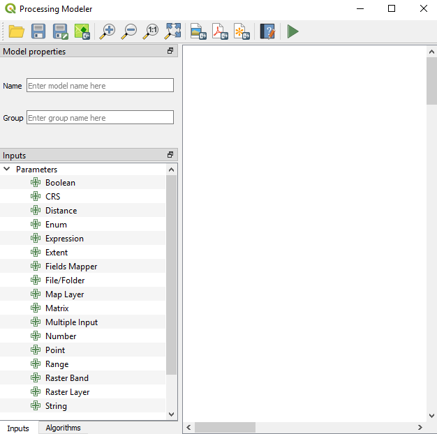
To create a model, go to Processing | Graphical Modeler to open the modeler, where we can select from different Inputs and Algorithms for our model. Graphical Modeler is shown in the following screenshot:

Select the Inputs tab and choose Vector Layer. Add a new parameter called Pipeline and set Geometry type to Line; this is shown in the following screenshot:

Click on OK. Now, add Raster Layer and call it Landcover. In the Algorithms tab, we can use the filter at the top to narrow down our search for the correct algorithm...


