


What do I mean by GIS data? By vector data, I mean points, lines, and polygons. The most common file format is a Shapefile (multiple files make up a Shapefile). By raster data, I mean (georeferenced) bitmaps. The most common file format is GeoTIFF.
Download the QGIS sample dataset from https://github.com/PacktPublishing/QGIS-Quick-Start-Guide/blob/master/qgis_sample_data.zip. Extract it to a working directory on your computer.
In QGIS, you should now be able to see this data in the Browser panel, as shown in the following screenshot:
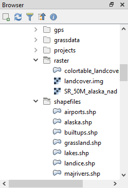
Browser panel


