Using QGIS
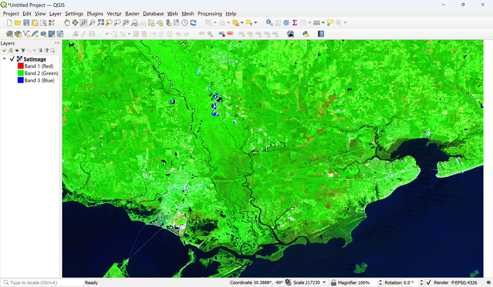
Before we get started with creating geospatial data with Python, we’ll need a way to view some of the datasets for the rest of the book. For that, we’ll use the Python-friendly, open source QGIS. QGIS is a free and comprehensive geographic information system program. For this book, we will use it as a simple data viewer. You can download it for Windows, Linux, and macOS from https://www.qgis.org. Follow the instructions on the website to install it for your platform. Once installed, you will have a desktop icon to launch it. When you open QGIS, you will be presented with the New empty project option, which you can double-click to create a new map canvas. You can then drag files from your filesystem, both vector and raster, onto the map to view and interact with them. The following screenshot shows a satellite image with which we will work in this chapter, having been dragged from the filesystem onto the blank map canvas for viewing:


