Custom geocoding
Before we close this chapter, I wanted to share a quick tip that I saw on LinkedIn some weeks ago. The post describing the following exercise came from Klaus Schulte, a German professor and 2018 Iron Viz Champion.
He shared that he had built a grid map by using custom geocoding. Let’s try to replicate it!
Download hex map data somewhere or create it yourself. For this exercise, you can use the hex map data from my Tableau Public or GitHub: https://github.com/PacktPublishing/Mastering-Tableau-2023-Fourth-Edition/blob/main/Chapter09/hexmap.xlsx. If you want to create it yourself, please review the polygon exercise in Chapter 8, Going Beyond the Basics. You can create the file the same way we created the book polygons:
- Place the
hexmapfile in theMapsourcesfolder of your Tableau repository. - Connect Tableau Desktop to the default
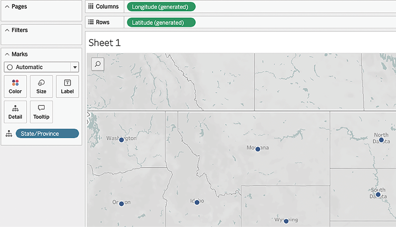
Superstoredata. - Double-click on State/Province:

Figure 9.58: Normal map
- Click...


